 In development2026
HuntLine IQ Web
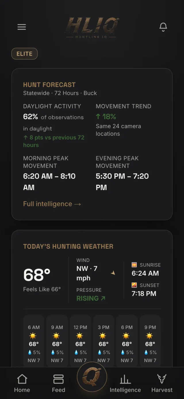
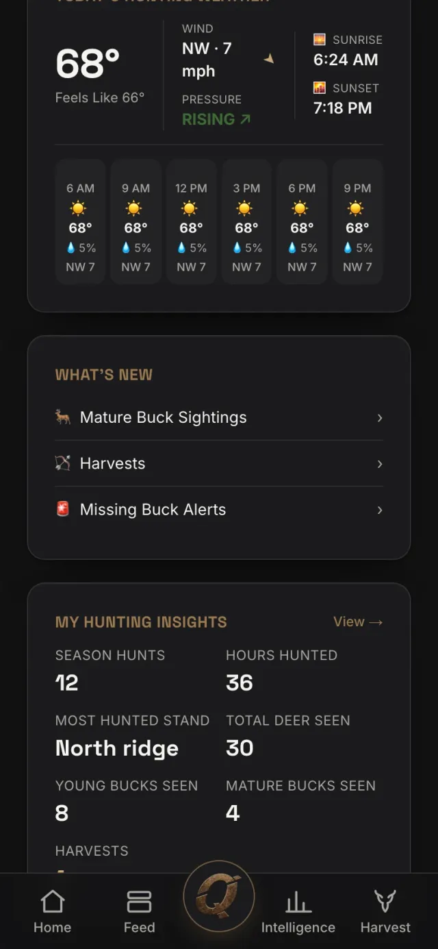
Hunting analytics and field observations with location privacy built in.
- Project
- HuntLine IQ
- Our role
- Design · Software development
- Platforms
- Web
01 / Behind the product
A real need. A considered solution.
Challenge
Field observations, weather and location become meaningful together, yet for hunters location privacy is the product itself. When data is thin it is easy to invent a statistic; the client wanted every number to come from a documented formula and adding a state to require no code change.
Approach
Locations aggregate onto coarse cells on a PostGIS and H3 hexagon grid; public content never shows exact distances, and intelligence publishes only above a contributor floor, so no report can be traced to a single hunter. Every statistic is computed from qualified observations with a documented formula; when data is thin the product says "Insufficient Data" rather than estimating.
The image pipeline is server-side: trail-cam overlay removal, orientation, capture-time extraction and moderation. Weather is enriched per observation from Open-Meteo history. States, counties, season and rut windows and feed delays are all data; loading county boundaries and configuring is enough. A property resolves to a county, the county to a state and a time zone, correct even in split-time-zone states. Every tunable lives in one config table, edited live from the admin panel.
Result
A member app, admin panel and PWA on Next.js 14; 28 migrations and 25 Edge Functions on Supabase (feed, intelligence, signal ingest and enrichment, a credits ledger, missing-buck alerts, badge and reliability crons, Stripe and RevenueCat webhooks), pgTAP database tests and CI on every push. Live on Vercel, with the native mobile apps consuming the same data.
02 / Inside the product
The experience, on screen.
Open a screen to explore the details.03 images
03 / Scope & details
The details make the experience.
- 01
Locations aggregated on PostGIS + H3 cells; exact distances never shown
- 02
Nothing publishes below the contributor floor; thin data reads “Insufficient Data”
- 03
Server-side image pipeline: overlay removal, capture time, moderation
- 04
States, counties and season windows are data; a new state needs no code
- 05
28 migrations, 25 Edge Functions, pgTAP tests, installable PWA
Technology
nextjs / react / typescript / supabase / postgres / stripe
INSIDE THE PRODUCT
The engineering behind the interface.
Systems we built and concrete problems we addressed in this project.
The contributor floor
Intelligence publishes only when the number of contributors in a cell exceeds a floor; no report can be traced to a single hunter. Every statistic has a documented formula, and when data is thin the product says "Insufficient Data" rather than estimating.
States are data, not code
States, counties, aggregation regions, season and rut windows and per-state feed delays live in config tables; county boundaries load through scripts/. A property resolves to a county, the county to a state and a time zone; the trail cam’s burned-in timestamp is the display source, the property’s time zone drives internal work.
Webhooks without JWT verification, everything else with it
Because Stripe and RevenueCat send their own authentication, stripe-webhook and revenuecat-webhook deploy with --no-verify-jwt; the other 23 functions verify the member’s token. Cron runs daily through /api/cron/* and the aggregation pass re-invokes itself until every zone is refreshed; pgTAP tests run with supabase test db.
IN THE CLIENT’S WORDS
Reviews left on Upwork for this project.
Kyle — August 2026
“Ali didn’t simply add the states I requested. He built the underlying framework so future expansion is significantly easier, while accounting for state-specific counties, regions, season windows, time zones and advertising logic. He then thoroughly tested everything in production and finished ahead of schedule. He continues to exceed my expectations.”
Kyle — July 2026
“When I started this project, I had an idea for a very complex application but no existing codebase. Over the course of several months, Ali helped turn that vision into a real product: a custom architecture, image processing, GIS mapping, authentication, subscriptions, an admin panel, and many unique business rules. As someone without a software engineering background, I especially appreciated that he could translate complex technical decisions into language I could understand.”
Kyle — April 2026
“He took a complex, highly nuanced product vision and translated it into a structured, build-ready system: a 50+ page set of documents covering database schema design, system architecture, configuration layers, zone logic and signal processing workflows. Instead of hardcoding decisions, he designed key elements such as zone thresholds and delay matrices to be configurable, so I can evolve the platform without rebuilding core systems.”
Your idea could be next.
What could we build for you?
From a first release to a growing platform. Let’s plan the design, development and launch together.
From Türkiye to the US, UK, Australia and everywhere in between.